1886 - Alstead
ALSTEAD, with an area of 24,756 acres, lies in the extreme northern part of the county, in 43° 6′ of north latitude, and longitude 4° 48′ east from Washington,* bounded north by Sullivan county, east by Marlow, south by Gilsum and Surry, and west by Walpole and a part of Sullivan county. The territory now lying within its limits was originally granted by Gov. Benning Wentworth, probably in 1761. He at that time granted charters for seventy-eight townships, lying on both sides of the Connecticut, principally for the purpose of establishing a claim to the territory in the then unsettled certainty of the colony’s western boundary line, and among them was, undoubtedly, this township. The new town was given a name evolved from its own infantile state, namely, ” New Town.” These words, however, from first being wedded by a hyphen, in course of time, with clipped edges, coalesced into plain ” Newton.” But, neither as ” New Town,” ” New-town” or “Newton,” did, the infant exist long enough to...
Read more

 History of Alstead, New Hampshire, USA
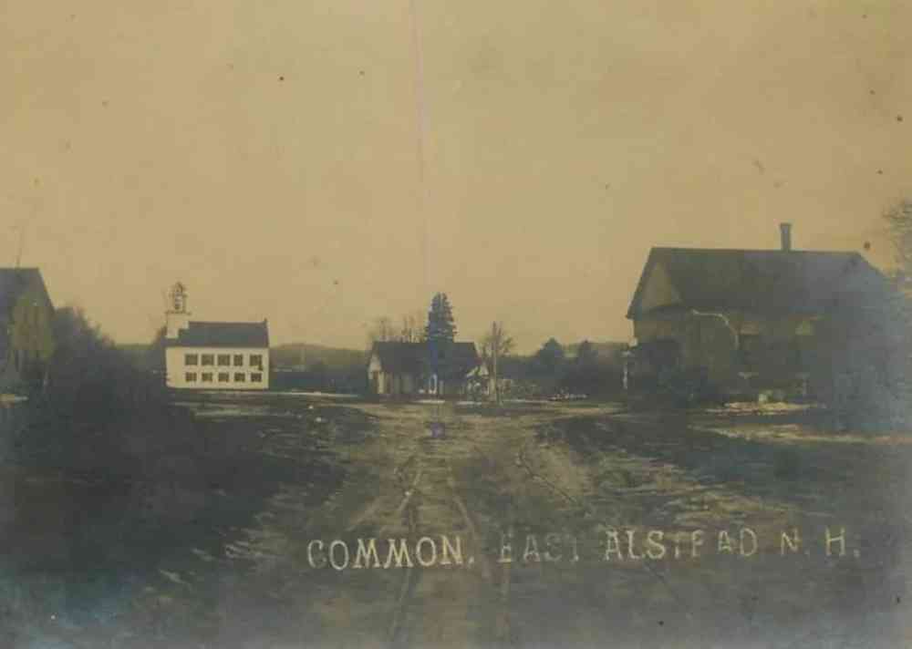

 (Mill Hollow) - Common, East Alstead)

 (Mill Hollow) - Langdon Road, Alstead, N.H., 1907)

 (Mill Hollow) - Main Street)

 (Mill Hollow) - Main St., 1910)

 (Mill Hollow) - Main Street, 1911)

 (Mill Hollow) - East Alstead, N.H. Post Office)

 (Mill Hollow) - Lake Warren, Alstead, N.H.)

 (Mill Hollow) - Bridge and Universalist Church, Alstead, N.H.)

 (Mill Hollow) - Shedd-Porter Memorial Library)

 (Mill Hollow) - Vilas Pool Pavilion)

 (Mill Hollow) - Vilas Pool)

 (Mill Hollow) - Vilas Pool)

 (Mill Hollow) - A Drive at Alstead, N.H.)

 (Mill Hollow) - Main St.)

 (Mill Hollow) - Warren Pond)

 (Mill Hollow) - Dancing Pavilion, Lake Warren, East Alstead)

 (Mill Hollow) - The Carillon - Vilas Pool)

 (Mill Hollow) - The Store, East Alstead, N.H.)

 (Mill Hollow) - Green Shutters, East Alstead, N.H.)


